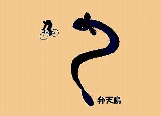
| Today's route. |
 |
|
I left from Hamamatsu station bicycle storage
area.
After going through No. 152, I went straight
to the Koyasu intersection(子安交差点) and ran 312.
|
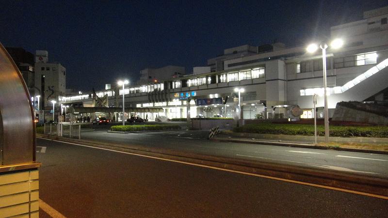 |
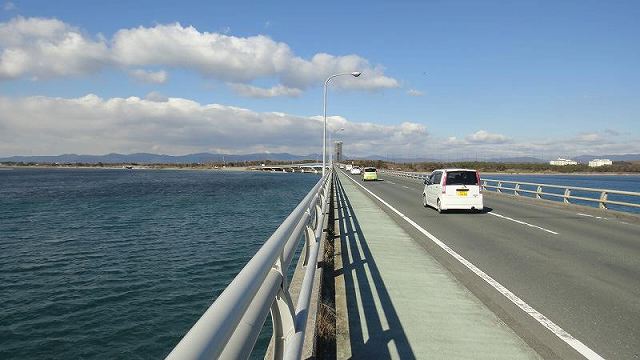
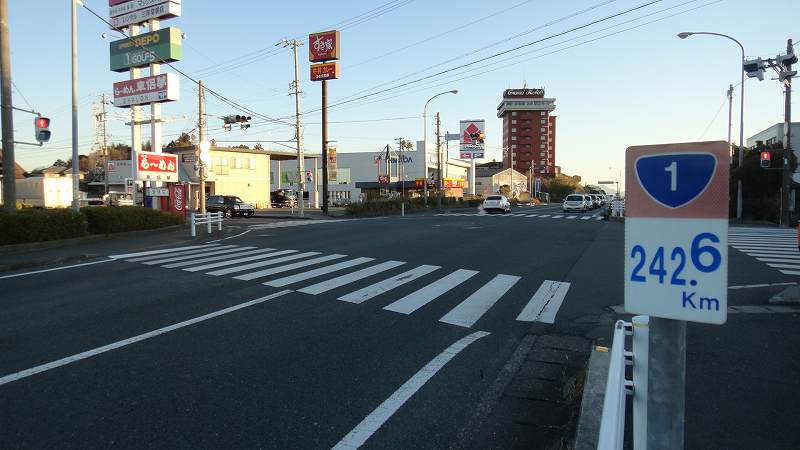
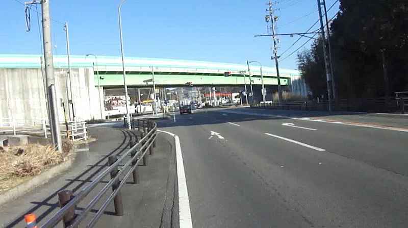
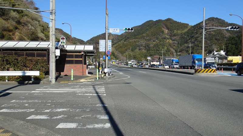
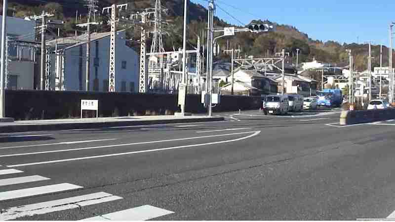
0630 |
Tenryu River west intersection(天竜川西交差点)
There is no sidewalk when trying to cross
at 312. |
 |
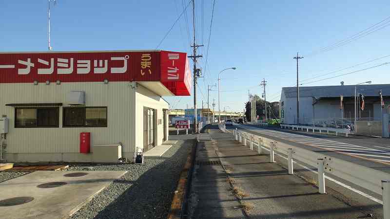
0702 |
| There is a sidewalk of Route 1 on the left,
so I run there. |
 |
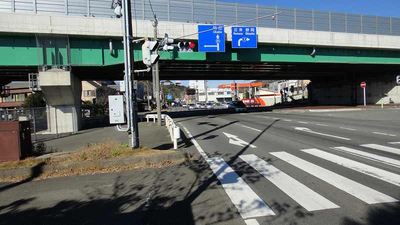
0702 |
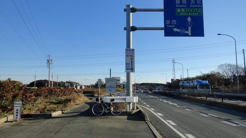
Mikano 三ケ野IC
Bypass from Mikano三ケ野 IC is banning invasion of bicycles.
Move to the right side of the road at about
100 meters this side of the Iwai intersection,
go straight for the sidewalk, go to No.413 |
 |
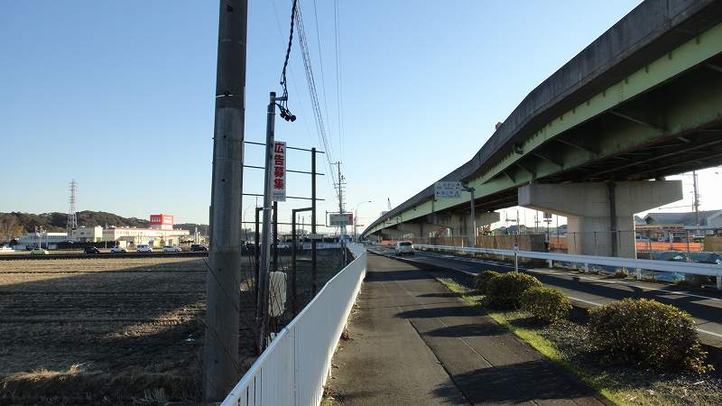
0737 |
Nanatsumori七ツ森
|
 |
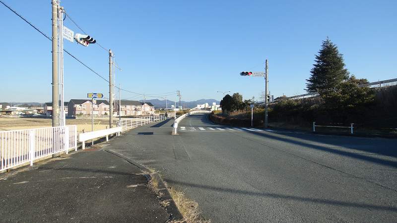
0807 |
| Turn right at the Nanatsumori Shrine intersection(七ツ森神社交差点)
and run along the No.1 line to Sawada IC(沢田). |
 |
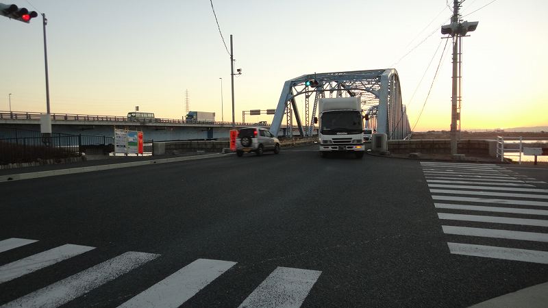
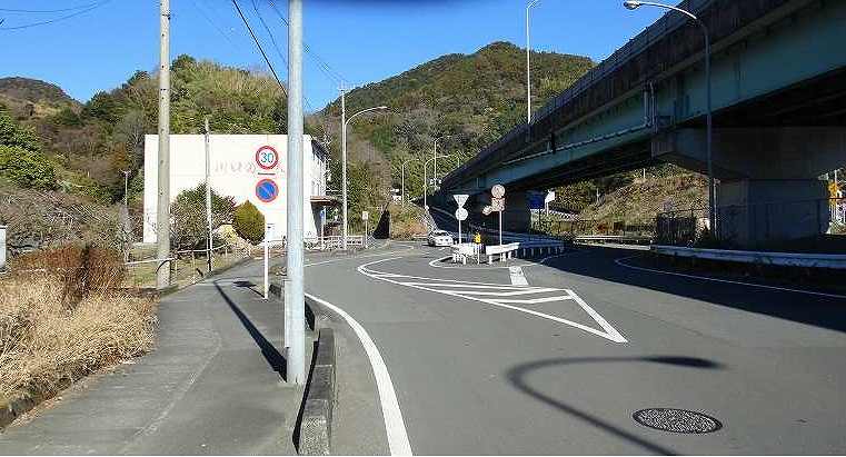
0815 |
Sawada澤田IC
Go through the pedestrian crossing, go to
the right, go through the tunnel and straight.
|
 |
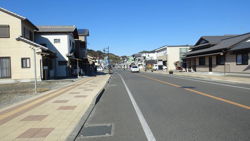
0834 |
Kakegawa掛川Suburbs郊外
Old Line 1旧1号線 |
 |
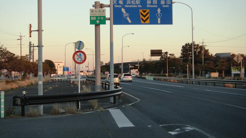
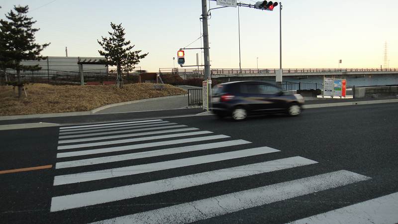
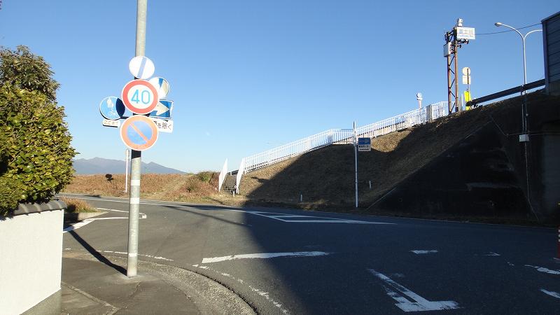
0907 |
Yasaka八坂IC
Go straight ahead and go to 415. |
 |
0916 |
Nakayama tunnel is now visible
We have already entered the old line 1 from
415.
This is Nakayama Pass which is called "Nakayama
of Sayo小夜の中山".
Nakayama is a pass there and there.
Nakayama is the pass connecting the region
and the region. |
 |
0925 |
| Before the tunnel |
 |
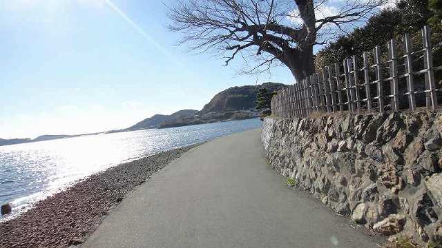
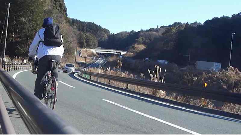
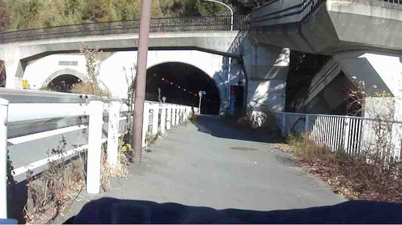
0940 |
Nakayama Tunnel
There is a fairly wide sidewalk. |
 |
0941 |
Once I pass the tunnel, I have to climb up
further.
|
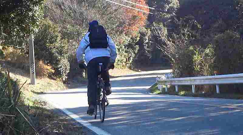 |
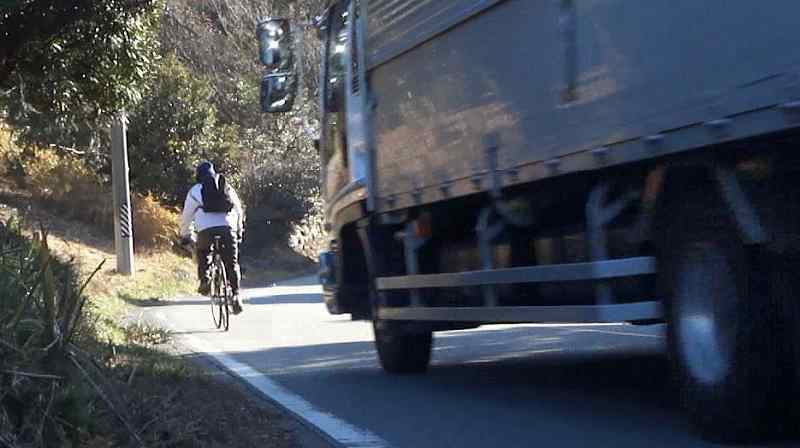
0954 |
I will move from former line 1 to line 381.
A big car goes along.
この道がピンポイントで昔東海道だったかどうかは別として、
地域として、金谷〜日坂間6.5km、標高200mそこそこが
どうして難所と呼ばれたかはどうもわからない。
坂がぬるぬるしてすべって登り難かったのか、
盗賊がでるためか。
鈴鹿のことは知らないが、箱根と比べるとどうも・・・
考えてみると、他に山はないからかもしれない・・・ |
 |
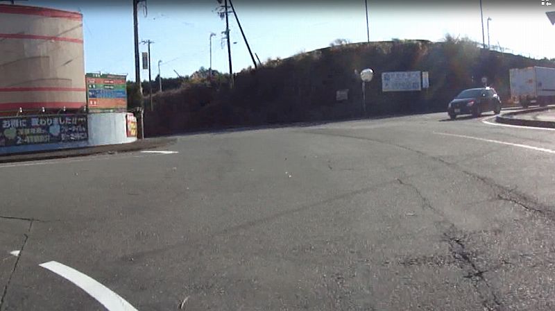
0954 |
381 goes past the hotel and goes to the left.
The right is No. 234, the way to go to Kikukawa.
|
 |
|
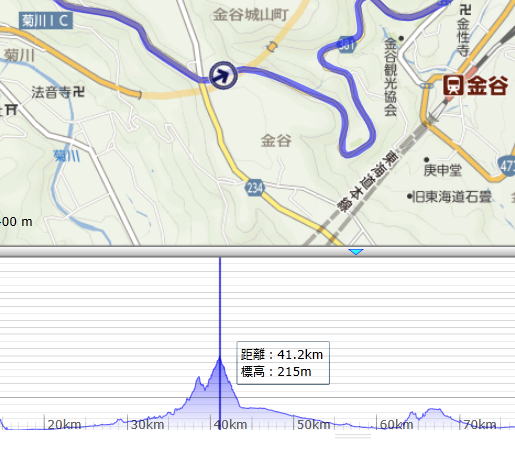
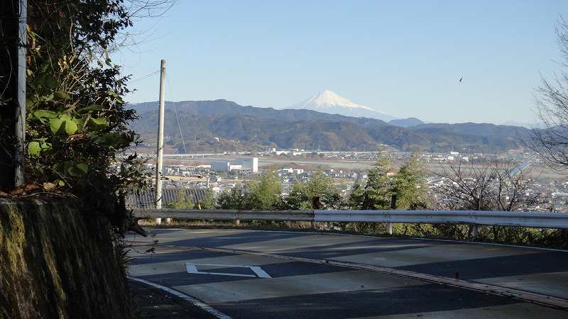
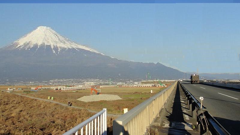
The altitude of this place is 215 m
The place is Kakegawa - city Sayoshika(佐夜鹿).
In the lower part of the figure, in the elevation
chart
There are two mountains, and there is a tunnel
on the small mountain on the left. |
 |
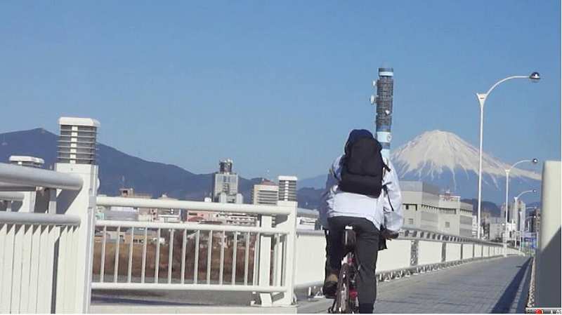
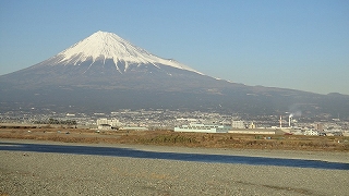
|
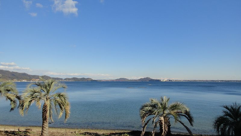
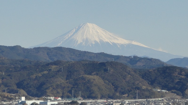
| Mt.Fuji can be seen far away. |
 |
1005 |
金谷、島田の町がみえる
381号線 |
 |
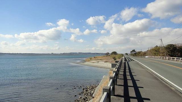
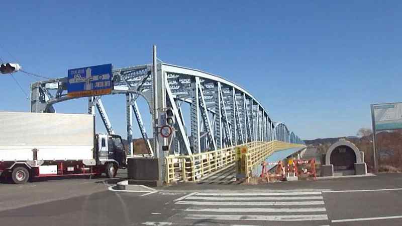
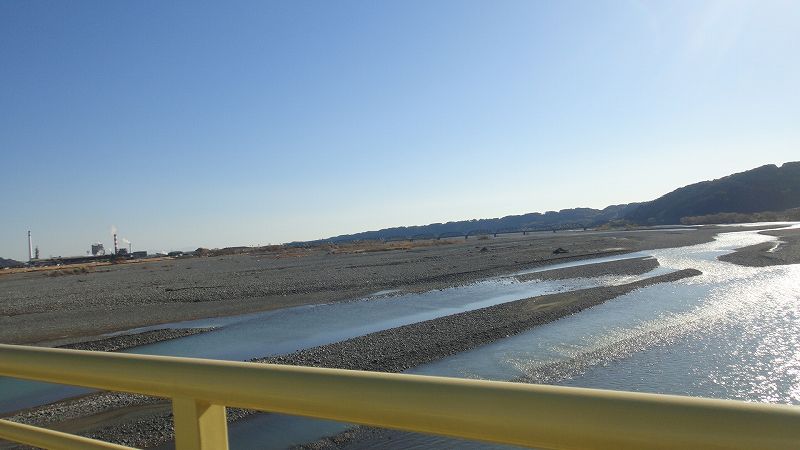
1005 |
大井川橋
381号線 |
 |
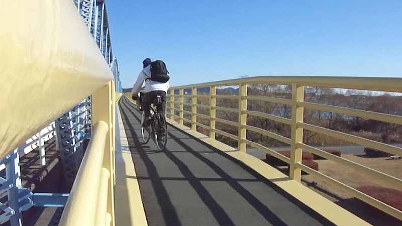
1021 |
| 大井川橋歩道 |
 |
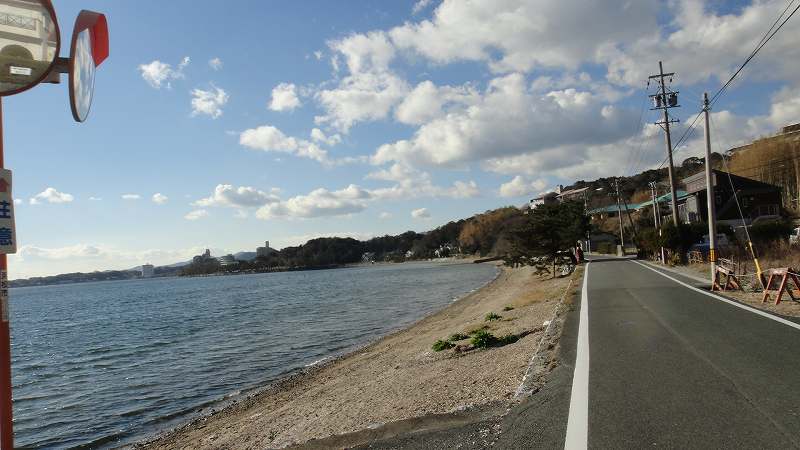
1022 |
大井川下流方角
「越すに越されぬ大井川」の水はもうない。 |
 |
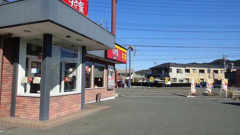
1023 |
旧1号線と合流してすぐのあたり
昼飯
迷わず、ここにはいる
右へ行こうとしている、旗を見ると強い追い風 |
 |
1059 |
旧1号線
島田の町の中は広い歩道がある |
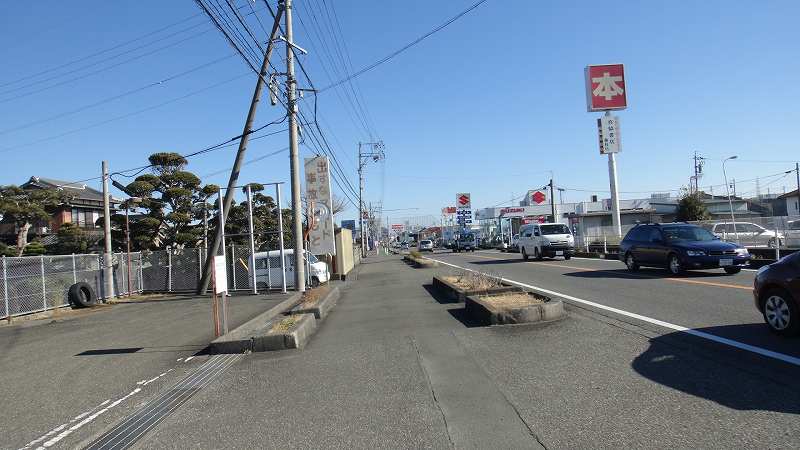 |
1113 |
内谷新田
内谷新田をまっすぐ
81号 208号を走る |
 |
1147 |
岡部の宿
208号線 |
 |
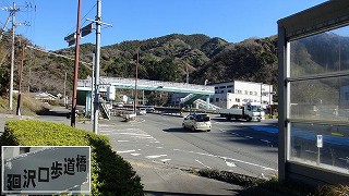
1151 |
宇津の谷トンネル
208からはなれて1号にすりついた
トンネル手前の道の駅
廻沢口歩道橋を渡って西行車線歩道へ |
 |
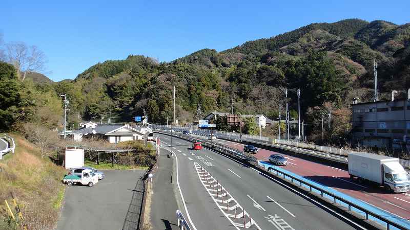
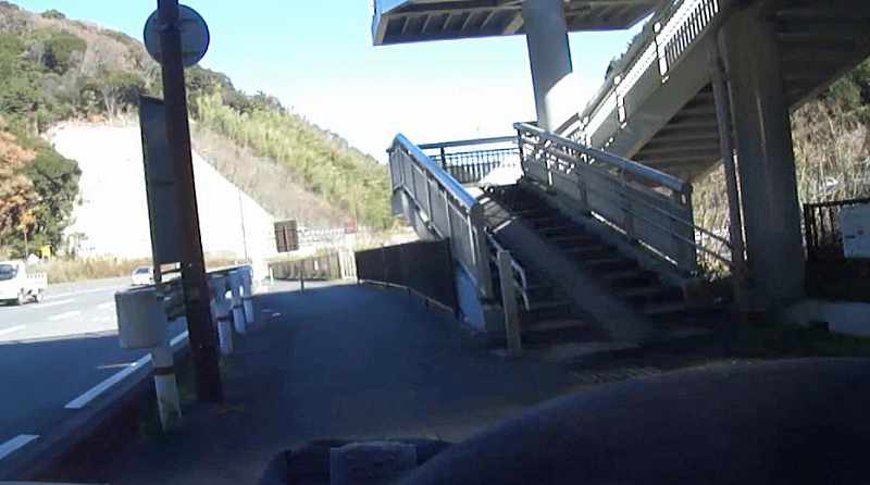
1204 |
宇津の谷トンネル方面
歩道橋の上から
この先、道の駅を過ぎてトンネル手前で本線をくぐって西行き車線歩道へ移ることもできる。 |
 |
1205 |
宇津ノ谷トンネル
トンネルというから相当登るのかと思ったら、
ほとんど登った記憶がない。
峠のてっぺんでも170m
トンネルはもっともっと下だろうから、
自転車でもほとんど坂を意識することはない。
昔は難所だったらしい。 |
 |
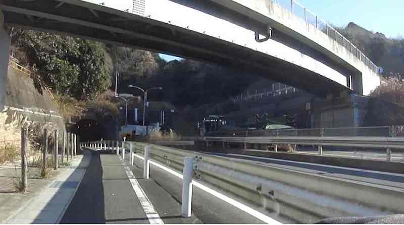
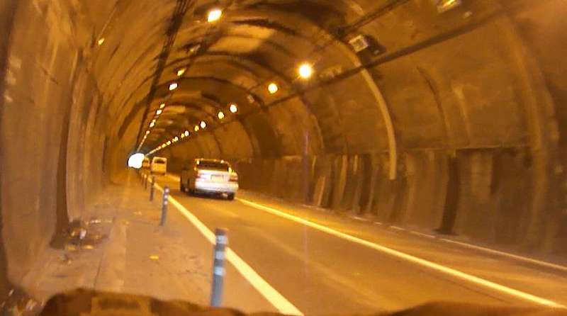
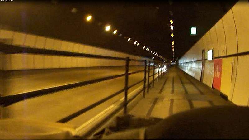
1216 |
| トンネルの中 |
 |
1217 |
トンネルをぬけると
歩道橋で東行き歩道へ渡る |
 |
1218 |
| 広い歩道がつづく |
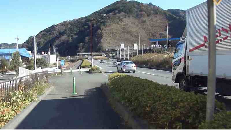 |
1227 |
丸子IC
二軒家交差点で左折
側道にはいる |
 |
1234 |
もう少し真っ直ぐ行って
本線をトンネルでくぐり
本線と合流 |
 |
1236 |
静岡
安部川 駿河大橋 |
 |
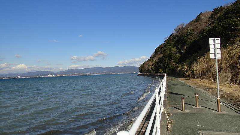
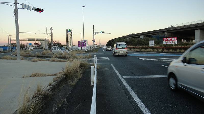
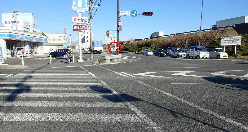
1255 |
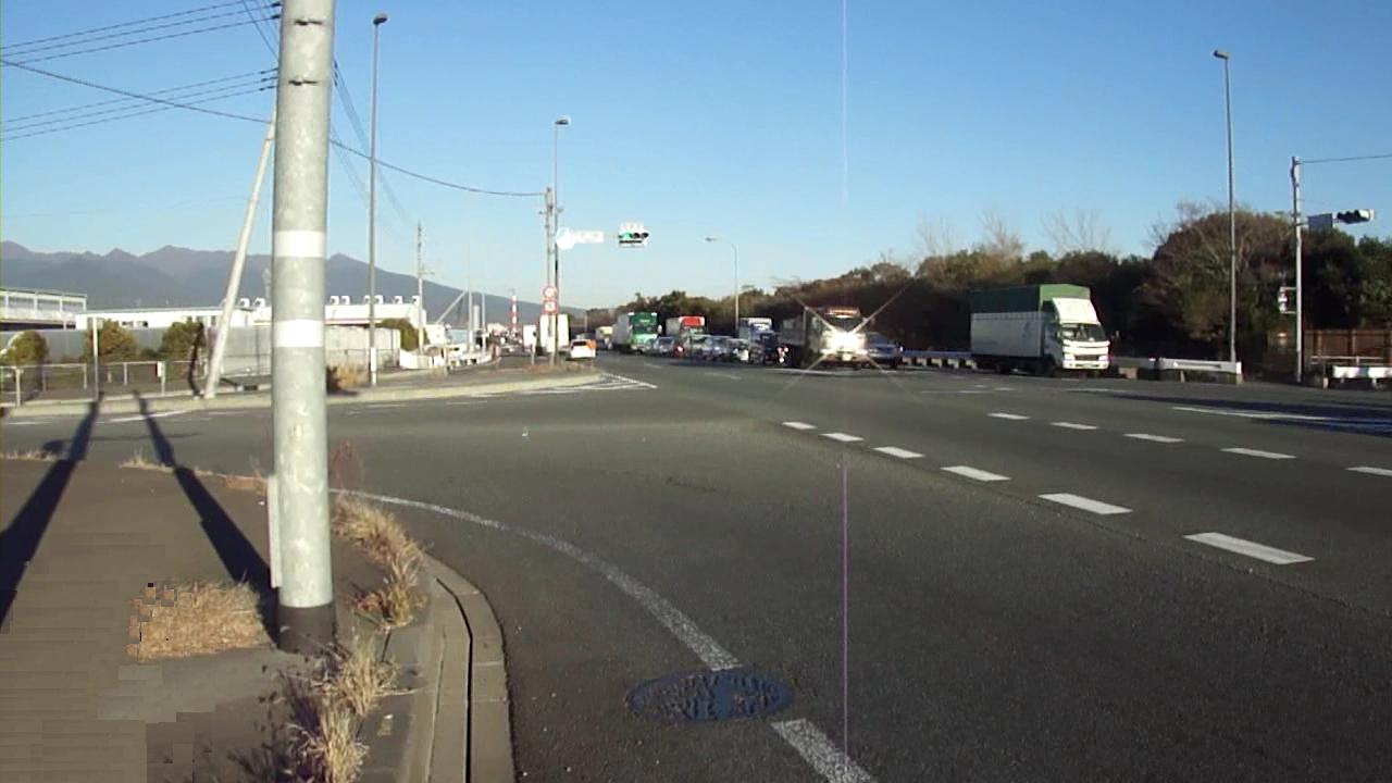
興津
ここが興津中町交差点
次の信号
コンビにを過ぎたところ
赤丸印のあたりの歩行者用信号を渡って
トンネルをくぐり、
太平洋自転車道へ
|
 |
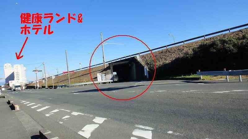
1404 |
クアアンドホテル 健康ランドが見える
ガードレールが邪魔してはいりにくいが、構わずトンネルへ |
 |
|
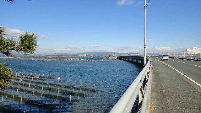
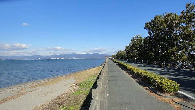
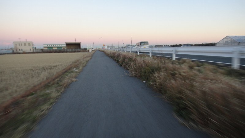
バイパスをくぐって太平洋側に出ると
太平洋自転車道 |
 |
1416 |
| 太平洋自転車道 |
 |
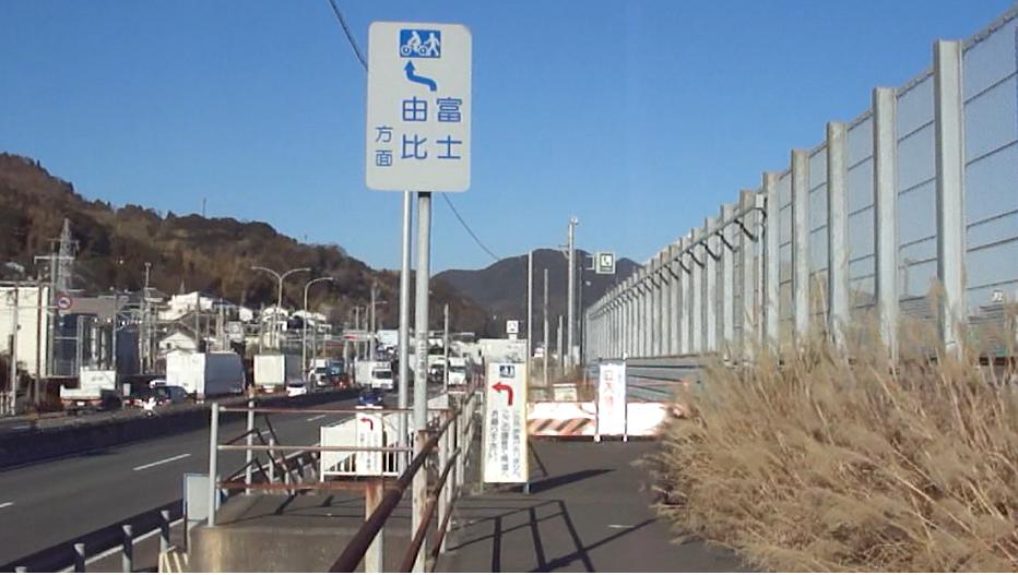
1420 |
由比 寺尾
ここで歩道は切れる
道を渡れというので渡る |
 |
1423 |
道を渡って
396号 370号へと進む
道にそって396を行くと多少坂になり、
あとで370と合流するときに損した気分になる。
JRを越えてすぐの三叉路、
歩道橋のある交差点を右方向へ行ったほうがよい。 |
 |
1425 |
上原東高架橋
坂を登っていくと
JRを渡る橋が2つある
2つめの陸橋
上原東高架橋
を右へ下っていく。 |
 |
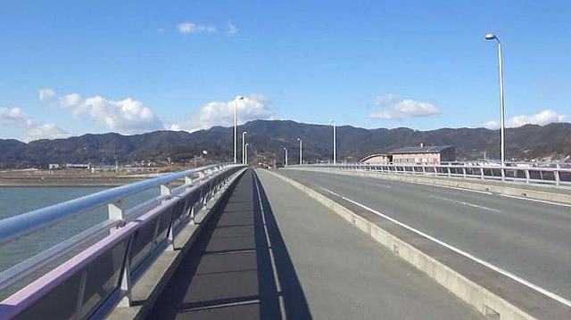
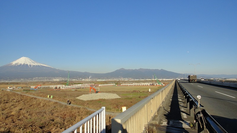
1504 |
富士川橋
1号バイパス川沿いに階段があるので
押してのぼると富士川橋 |
 |
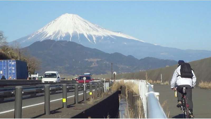
1508 |
| 冬といえども富士山に雲ひとつないというのもめずらしい。 |
 |
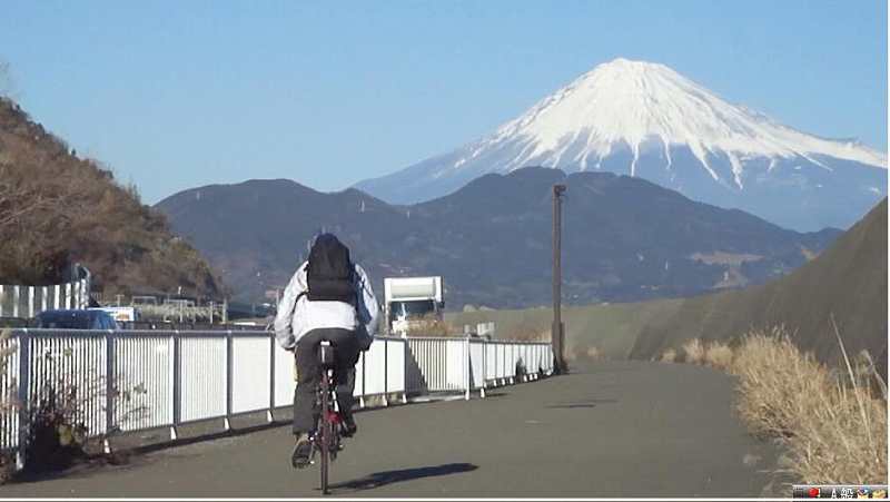
1512 |
| 富士川 |
 |
1514 |
実際にはこんなかんじで見えている
合成したもの |
 |
|
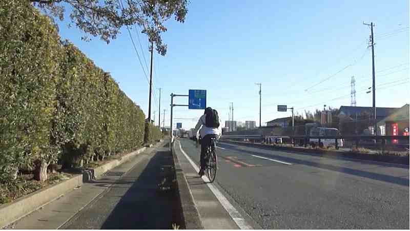
吉原ショートカット
江川交差点を左へ行き
次の交差点を右折、バイパスをくぐったら、港、駅前をぬけて
170号、 380号へ |
 |
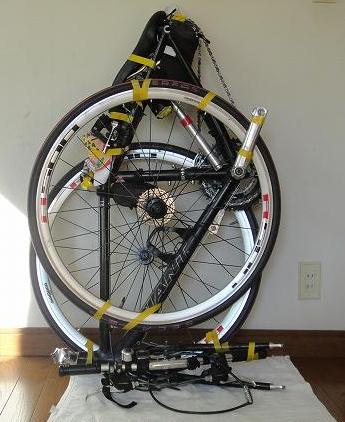
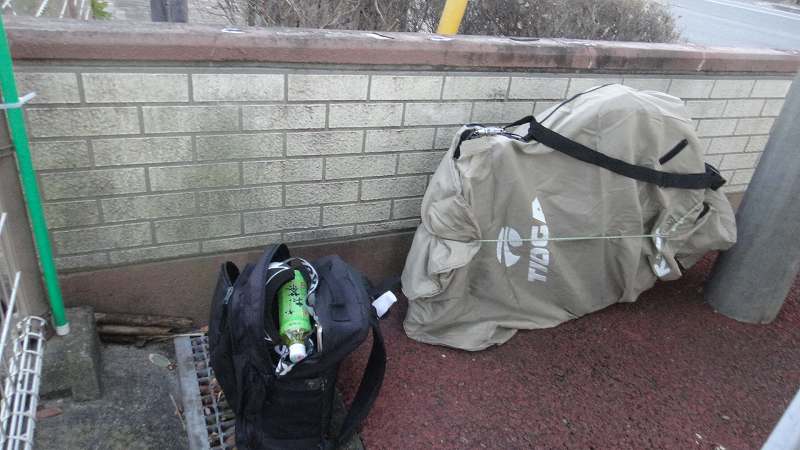
1530 |
吉原駅
自転車置き場横の風のあたらない場所で
分解して荷造り
やはり30分ほどかかりました。
|
 |
1534 |
|
|
|
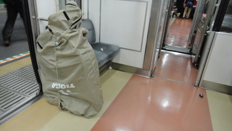
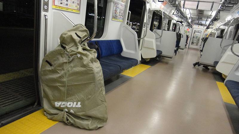
輪行
乗り継いで、藤沢経由小田急利用
最寄の駅まで、今回は家族に車で迎えにきてもらいました。
|
 |
|
今年の桜の開花が遅れたのは地球温暖化の影響で冬の気温が高かったためだそうです。
そして、今例年にない寒波が来ているのは北極の氷がえらく少ないからだそうです。
この気象の矛盾・・・・
今年の夏至の日の出から日の入りまでの時間14時間35分
冬至の日の出から日の入りまでの時間9時間45分
その差5時間。これは大きい。5時間あれば75km走れる。
一年でもっとも昼の短い日である冬至に
そして今年最大の寒波もやってきました。
そんな日に出かけてみました。
|
|
|
| トップページへ戻る |
|
|