|
 |
|
|
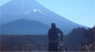
It takes 100 km to go and come back. in one round trip.
If you run on a bicycle, you can come back
in about 7 hours.
The problem is the weather.I picked the sunny
day and tried around. |
|
|
 |
0611 |
|
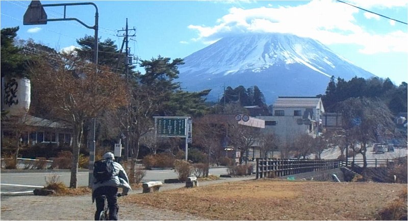
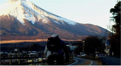
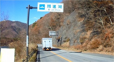
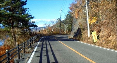
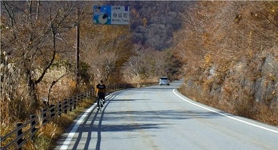
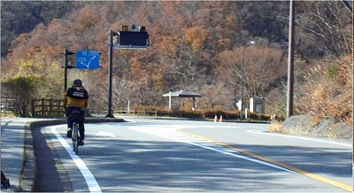
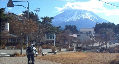
I came running Route 246, this time. It took
2 hours and 10 minutes.
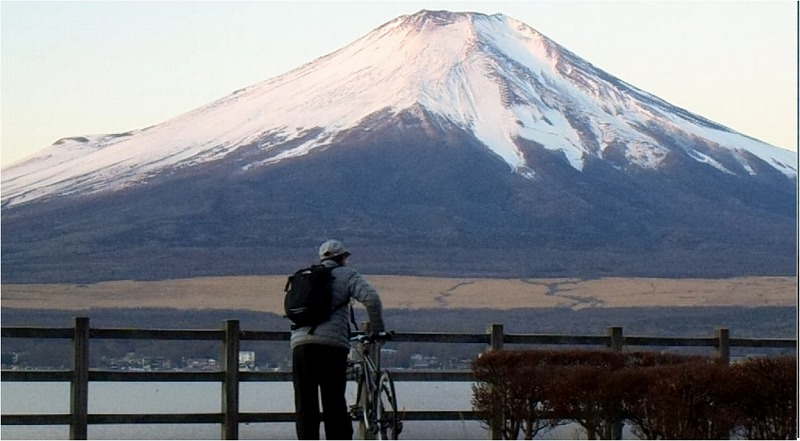
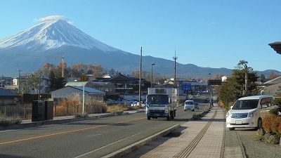
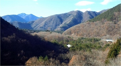
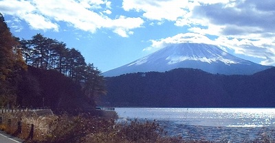
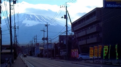
I arrive at Mikuni Pass at 6 o'clock.
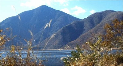
Lake
Yamanaka, Mt. Fuji can be seen well.
Today
the weather looks good. And it was
a forecast
that it will be warm.
Mt. Fuji Best View Point is full of
cars.
There were a lot of people who already
had
a camera.
|
|
|
 |
0631 |
|
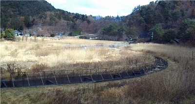
I park my car at the Nagaike parking lot
and leave from here.
|
|
|
 |
|
|
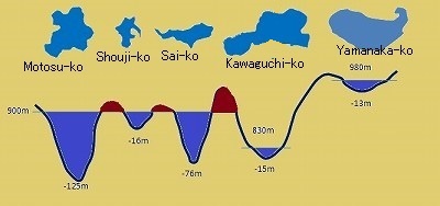
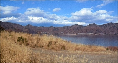
I am looking at the altitude of Fuji Goko.
What I would like to pay attention to is
that the height of the lake surface of West
Lake, Shoujiko Lake,Motosu Lake is the same.
The difference in elevation of the lake surface
between West Lake and Kawaguchiko is greater
than I thought.
Lake Yamanaka is in a very high place.
I do not feel it almost when I run by car,
but I think that I can feel it with
my bicycle
when I ride it.I am going to run from now. |
|
|
 |
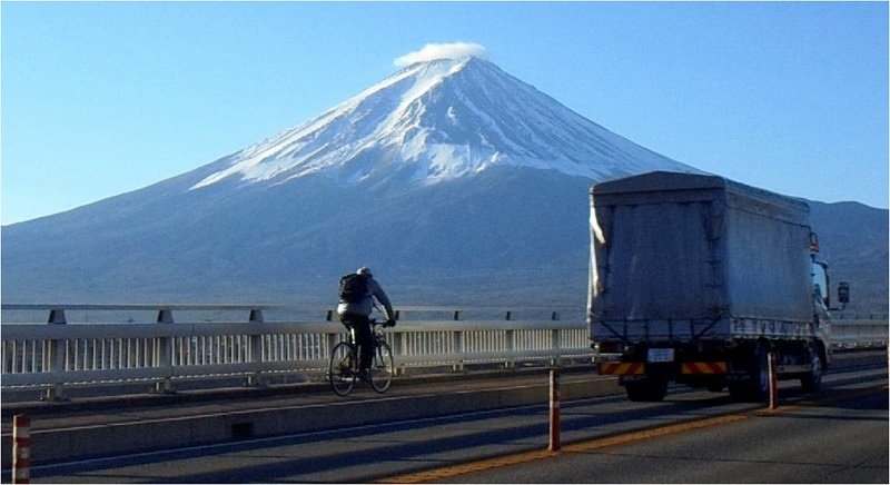
0644 |
|
I leave Yamanakako and run to Kawaguchi lake
first. After that, run to West Lake, Shouji
Lake, Lake Motosu, and come back, finally
go around Yamanakako and finish.
I am masking because my ears are cold and
my face is cold.
The altitude of Lake Yamanaka is 980 m. Because Kawaguchiko is 830 meters. It goes down considerably. There is a distance, so I do not feel that
much. |
|
|
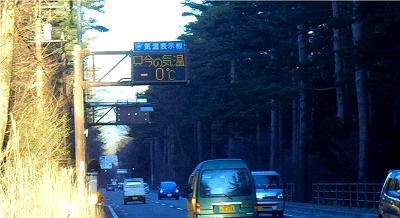 |
0658 |
|
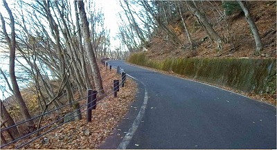
Here is the place of the Shibokusa.Current
ambient temperature 0 degree C.I do not feel
anything by car, but it's a downhill road.I
am feeling downhill because I am a bicycle. |
|
|
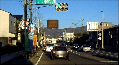 |
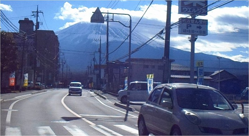
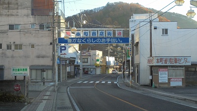
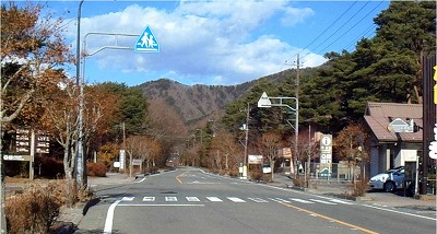
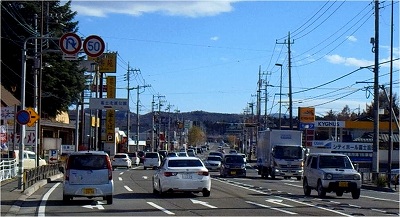
0714 |
|
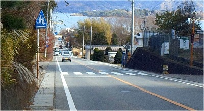
This is Fujiyoshida City Jouyado.There are many cars. |
|
|
 |
0735 |
|
Lake Kawaguchiko lakeside, Funatsu three-way
road(‘D’أژOچ·کH).When I enter the town, the
car does not run at all. |
|
|
 |
0737 |
|
Kawaguchi lake pleasure boat.You can see
the big-bridge.
|
|
|
 |
0744 |
|
Fukuzumi(•x‹vگں) campsite located in front
of Ubuyagasaki(ژY‰®ƒPگو) |
|
|
 |
|
|
Kawaguchiko Ohashi.
This picture was taken from near the Shin
Misaka Tunnel. |
|
|
 |
0750 |
|
Kawaguchiko Ohashi.
I will cross this bridge twice today.It goes
in the same direction twice. |
|
|
 |
0756 |
|
I'm going to the West Lake by running on
the south coast of Lake Kawaguchi.Why
do
I run on the southern shore of sun?.
That's because I want to cross the
Kawaguchiko
Ohashi from north to south.I want to
cross
the bridge toward Mt. Fuji.
I will run Kawaguchiko in the shape
of 8.
In the shape of 8 the movement of the
middle
joint will be in the same direction.
Today I will cross the Ohashi twice
in the
same direction. |
|
|
 |
0804 |
|
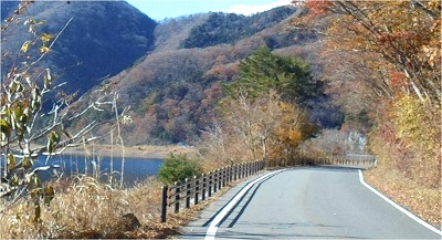
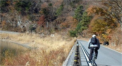
I am running on the south coast of Kawaguchiko
now.
The mountains you see are Kenashiyama(–ر–³ژR),
Juunigatake(ڈ\“ٌƒPٹx), Onigatake(‹S‚ھٹx). |
|
|
 |
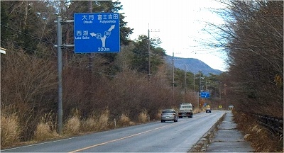
0819 |
|
The altitude of Lake Kawaguchi is 830 m.
It is said that West Lake, Shouji Lake and
Lake Motosu are connected underground.
The altitude is 900 m in the same way.
Kawaguchi lake is about 70 m lower than West
Lake.
I do not quite understand it in the photo,
but it is quite uphill.There is a tunnel
and it is Saiko.The place where I left the
tunnel is Saiko. |
|
|
 |
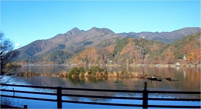
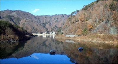
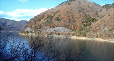
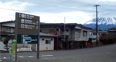
0833 |
|
I reached Saiko.I omitted the picture of
the tunnel.I am running on the north bank
of Saiko.This time it is the direction of
the sun.Mt. Omuroyama is visible in the center. |
|
|
 |
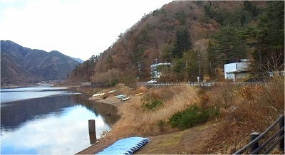
0836 |
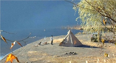
|
It is the morning scenery of a campsite on
the lake.
I want to do such an autocamp.
The good thing about IndianTeepee is that
you can use fire inside.
It was cold last night.When we burn the fire
inside, we will open the curtain of the tomb.
How to open will move the stick a little. |
|
|
 |
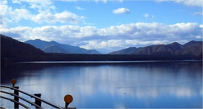
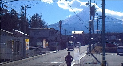
0839 |
|
It is quite difficult to see Mt. Fuji from
the Saiko.
It is because there is Mt. Ashiwada.
We can only see this. |
|
|
 |
0903 |
|
I am running a sidewalk now, but the road
surface is frozen.I am likely to skid
side
because the tire is thin.
The lake elevation of Saiko, Shoujiko,Motosuko
is the same. |
|
|
 |
0905 |
|
I will go down a lot like this. |
|
|
 |
0907 |
|
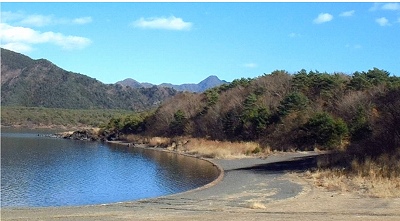
We can see Shoujiko far below.
This is a place called Akaike, and it is
said to be the place where the sixth lake
can be formed when rainfall has fallen.It
will be out of the definition of the lake,
so it will not be the sixth lake.It is a
temporary pond.
It is hard to imagine that Shoujiko and the
Saiko above are at the same elevation.
However, it seems like I came up a lot of
slopes from Saiko to National Route 139. |
|
|
 |
0912 |
|
And Shoujiko. |
|
|
 |
0914 |
|
Scenery is beautifully reflected on the lake
surface. |
|
|
 |
0920 |
|
Mt. Fuji seen from Shoujiko is visible behind
Mt.Omuro. |
|
|
 |
0925 |
|
Mt. Fuji anf Mt.Omuro. |
|
|
 |
0932 |
|
 |
0937 |
|
Then I will run National Route 139.
There is a place where Mt.Fuji looks bigger
on the way.
It is hard to take in the picture.
Because the difference in illuminance between
Mt. Fuji and the forest is too large. |
|
|
 |
0942 |
|
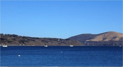
I arrived at Lake Motosu. |
|
|
 |
0944 |
|
I will run counterclockwise around Lake Motosu. |
|
|
 |
0949 |
|
|
|
|
 |
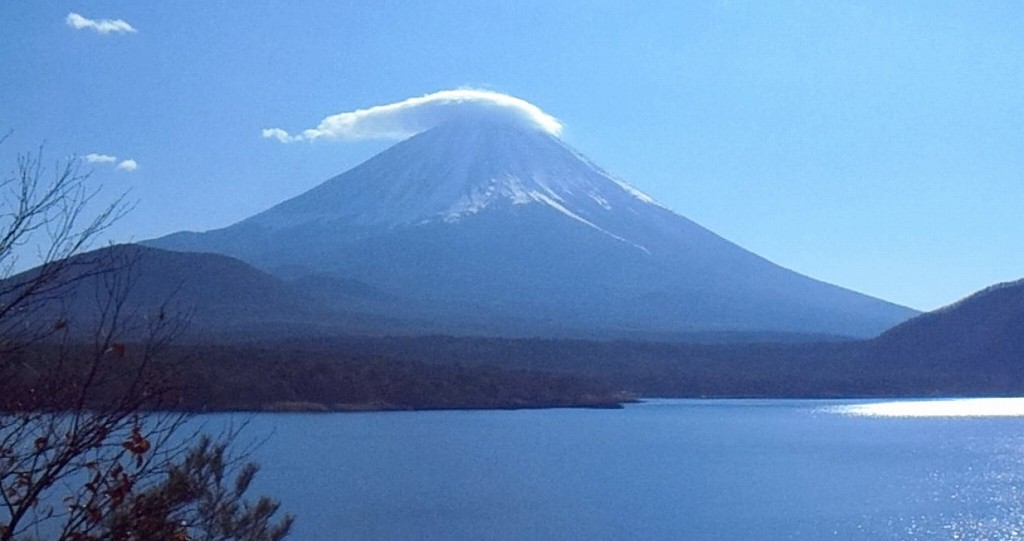
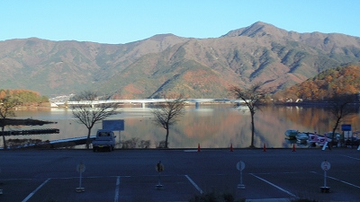
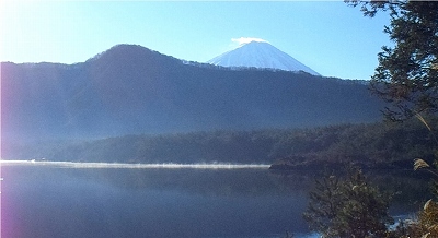
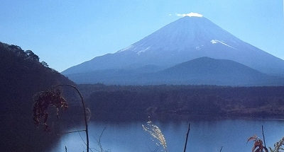
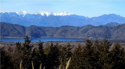
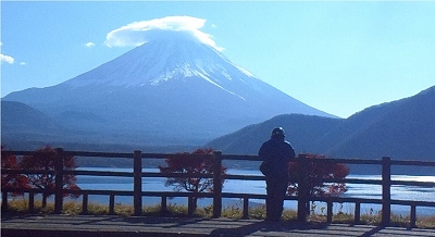
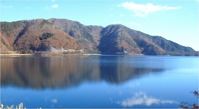
0953 |
|
It is around here that Mt.Fuji can be seen
most beautifully.
The forest spreading in front of Mt.Fuji
is Aokigahara Jukai.
Today the weather is nice, but Mt.Fuji is
not upside down on the lake.
N35.28.28 E138.34.47
There is an observatory under the Omuroyama.
The bottom picture is what I saw from there. |
|
|
 |
|
|
I have just seen Lake Motosu from theOomuroyama-nishi
observation deck. |
|
|
 |
0954 |
|
|
|
|
 |
0956 |
|
Lake Motosu spans Kawaguchiko-town and Minobu-town.From
here it is Minobu-town. |
|
|
 |
0959 |
|
Therefore, the place where the observatory
is located is Minobu Town. |
|
|
 |
1000 |
|
About the view of Mt.Fuji from here.
Omuroyama shifted to the left, but
the hem
of Ryuga-dake is disturbing a bit. |
|
|
 |
1003 |
|
|
|
|
 |
1005 |
|
The visible mountain is a Ryuugatake. |
|
|
 |
1006 |
|
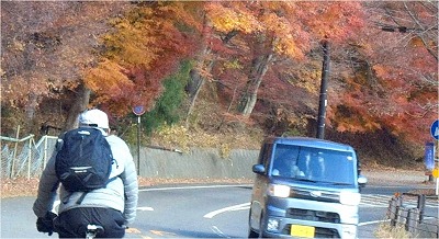
I run in the landscape of beautiful autumn
leaves.It is warm today. |
|
|
 |
1008 |
|
It is comfortable for me to go home as long
as I come here. |
|
|
 |
1013 |
|
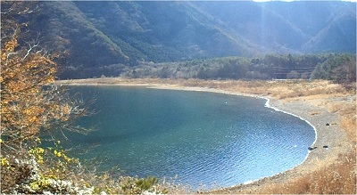
The water of Lake Motosu is beautiful.
It is crystal clear and you can see the bottom
stone. |
|
|
 |
1013 |
|
You see Aokigahara Jukai. |
|
|
 |
1013 |
|
|
|
|
 |
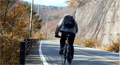
1020 |
|
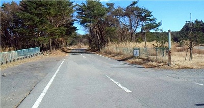
I will run on a narrow street on the south
coast where no sunshine will come. |
|
|
 |
1023 |
|
I finished bicycling the lake. |
|
|
 |
1024 |
|
 |
1024 |
|
 |
1040 |
|
I will head toward Lake-Shouji from Lake-Motosu. |
|
|
 |
1044 |
|
Since there is no road on the south shore
of Lake Shoji, it goes through National Route
139.
This is the road running in the middle of
the Aokigahara-Jukai. |
|
|
 |
1102 |
|
I will go up the slope of Akaike.
It is a sunken land on this right side called
Akaike.
It is a small pond that can be done when
raindrops rain. |
|
|
 |
1111 |
|
I am going down to the Saiko here. |
|
|
 |
1121 |
|
I will go through the south coast of Saiko. |
|
|
 |
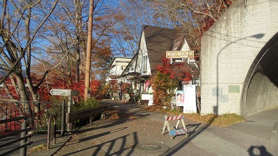
1131 |
|
Campground Koyodai. |
|
|
 |
1138 |
|
I look back and say goodbye to Saiko.You
can see Omuroyama and Aokigahara-Jukai.
The mountains that can be seen in the distance
are Kenashiyama, Amagatake. |
|
|
 |
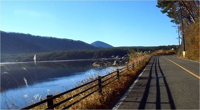
1139 |
|
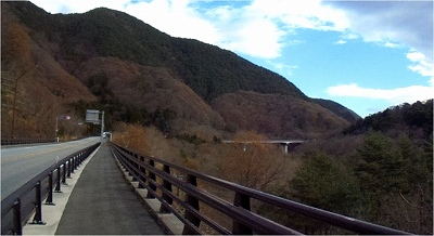
Water channel of TEPCO's West Lake Power
Station.
The fact that there is a power station means
that there is such a head difference.
The difference in elevation between the lake
surface of Saiko and the lake surface of
Kawaguchiko is 70 m. |
|
|
 |
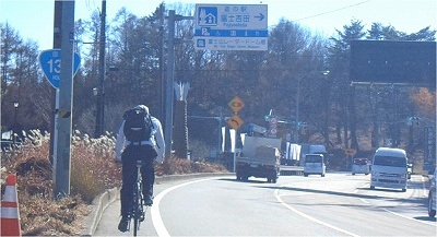
1145 |
|
From the Saiko pass, pass through the tunnel
and come down to Kawaguchiko. |
|
|
 |
1153 |
|
|
|
|
 |
1155 |
|
 |
1201 |
|
I lost my front carrier screws, so I can
not use it, and I carry a backpack. |
|
|
 |
1218 |
|
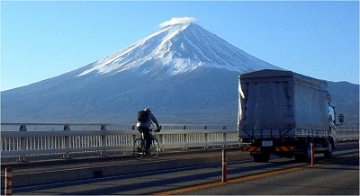
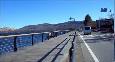
I will cross the Kawaguchiko Bridge again. |
|
|
 |
1219 |
|
 |
1234 |
|
 |
1237 |
|
 |
1246 |
|
 |
1256 |
|
 |
1302 |
|
It was hot so I took off my jacket. |
|
|
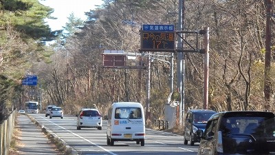 |
1316 |
|
The current temperature is 17 degrees. |
|
|
 |
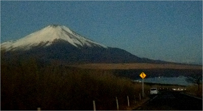
1331 |
|
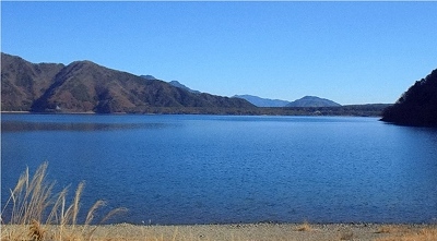
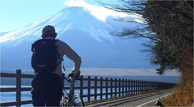
I reached Lake Yamanaka.
I do not feel like I went up so much, but
here is the highest altitude in the five
lakes.
It is 150 m higher than Lake Kawaguchi. |
|
|
 |
1333 |
|
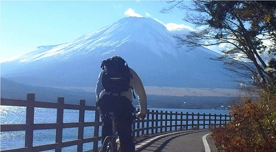
I arrived at Lake Yamanaka. I am looking
towards Yamabushi Pass.
Lake Yamanakaki is the shallowest in Fuji
Goko. It is about 13 m.
In comparison, Lake Motosu is about 122 m.
|
|
|
 |
1341 |
|
I turn around the lake counterclockwise and
return to the original parking lot. |
|
|
 |
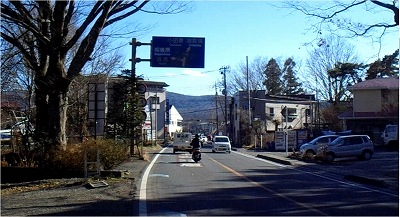
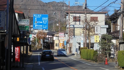
1350 |
|
Here is a parting road to Kagasaka Passâؤچâ“» |
|
|
 |
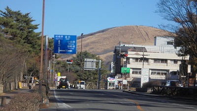
1406 |
|
Here are two road to go to Mikuni PassژOچ‘“»,
Yamabushi PassژR•ڑ“». |
|
|
 |
1415 |
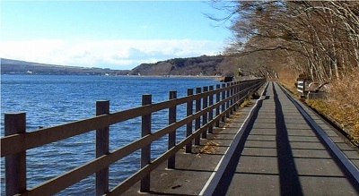
|
The pedestrian and the bicycle path are flat
and along the lake side. |
|
|
 |
1416 |
|
It is a sidewalk along the lake that runs
toward Mt.Fuji, a bike path.
I came here and noticed that a spare tube
was not in the backpack.The cause is because
I changed the backpack that I bring today.
I was attaching only air pumps and tools
to my bicycle. |
|
|
 |
1425 |
|
I have arrived. I'm putting a car at Nagaike
Water Park’·’rگeگ…Œِ‰€. |
|
| Toppage |
|
|
|
|
|
|